Welcome to the Frankfort, Kentucky GIS web site. GIS is an acronym for Geographic Information System. This allows us to visualize, question, analyze, and interpret data to understand relationships, patterns, and trends.
GIS Disclaimer
The maps included in this site are not accurate for legal descriptions and do not substitute for surveys or official records. Use these maps for your convenience, knowing that you and others who may rely on their use assume all risk and responsibility. The City of Frankfort is not liable for any damages or injuries resulting from the use of this information. All information included here is the property of Frankfort, KY
You are welcome to view, use, download, copy, e-mail, distribute, and/or print the information from this website, subject to the following conditions:
- The information shall not be used or displayed in any manner for commercial purposes without the written consent of the City;
- The information shall not be used or displayed in any manner for public purposes unless attributed to the City;
- The information may be used solely for personal, informational, non-commercial purposes; The information is not altered, transformed, manipulated, or otherwise modified, unless the City consents.



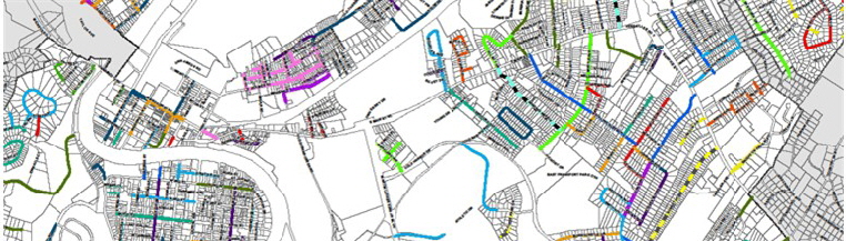

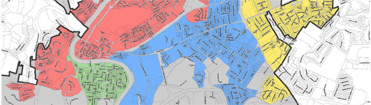


Mapping Frankfort, Capital of Kentucky
© 2014- 2018 City of Frankfort, Kentucky - GIS
ALL RIGHTS RESERVED
Website Designed and Maintained by Graphic Enterprises

Photos courtesy of
Gene Burch Photography