The GIS office is responsible for all mapping and surveying needs of the city, including the maintenance of a spatial database to support the operations of various departments in their day-to-day operations



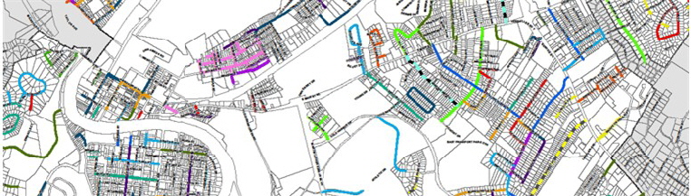

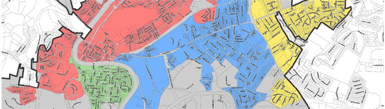


Mapping Frankfort, Capital of Kentucky
© 2014- 2018 City of Frankfort, Kentucky - GIS
ALL RIGHTS RESERVED
Website Designed and Maintained by Graphic Enterprises

Photos courtesy of
Gene Burch Photography